Enhancing Project Outcomes with GIS Technology at Stanley Consultants
December 12, 2024 | 4 min read
A Legacy of GIS Innovation
Since 1981, Stanley Consultants has been a pioneer in providing GIS services, continuously delivering sophisticated real-world enterprise GIS solutions. Our GIS mapping capabilities enable users to visualize various data types on a single map in real time, enhancing decision-making and efficiency. This longstanding expertise guides our approach to every project, providing a legacy of innovation and precision. Today, our GIS platforms work well with other technologies, like cloud storage and real-time field data collection. This approach dramatically increases our ability to provide timely, data-driven insights.
GIS Services in Asset Management
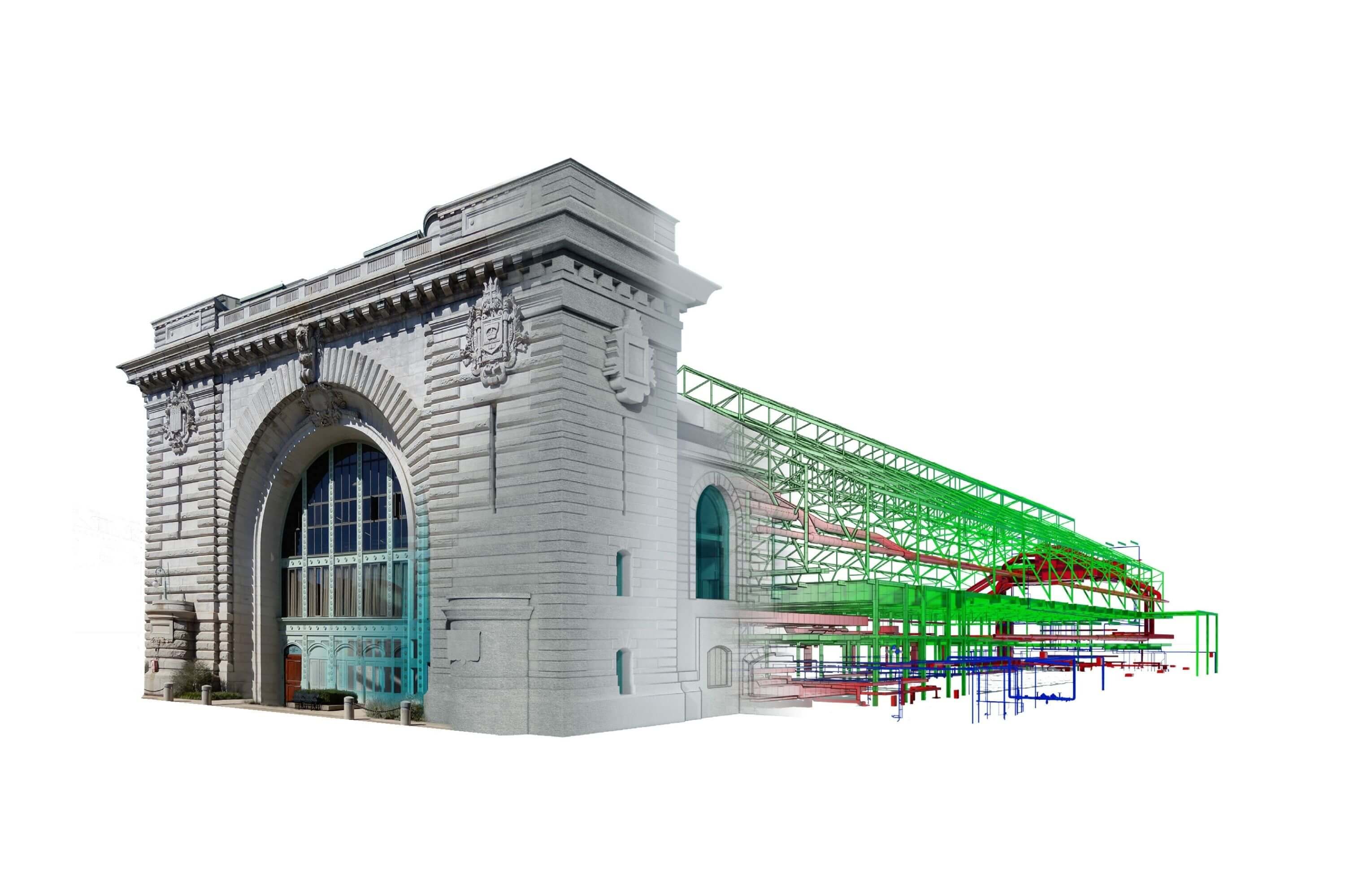
GIS technology at Stanley Consultants plays a foundational role in managing, analyzing and visualizing data. Drew Rotschafer, Federal Operations Group Manager, emphasizes the importance of GIS in asset management and utility modeling, stating, “GIS technology enables us to provide precise and up-to-date information, facilitating robust asset management solutions that cater to the unique needs of each project.” For example, GIS can help track infrastructure assets such as pipelines, roads and electrical grids, allowing clients to budget for repairs or replacements more efficiently. Tools like LiDAR scans and 3D modeling enhance the accuracy of condition assessments, helping clients prioritize critical maintenance activities.
Comprehensive Land Services Through GIS
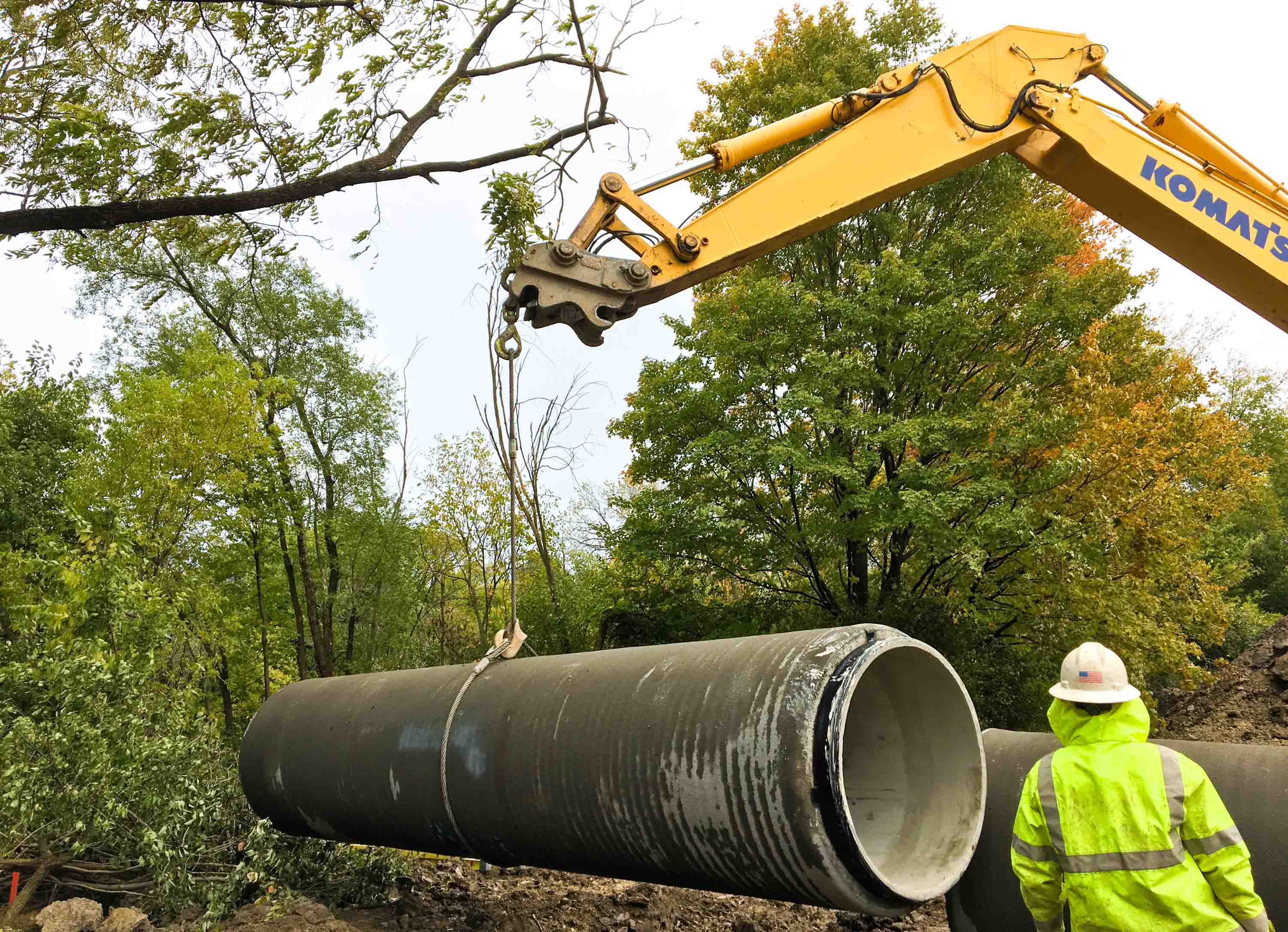
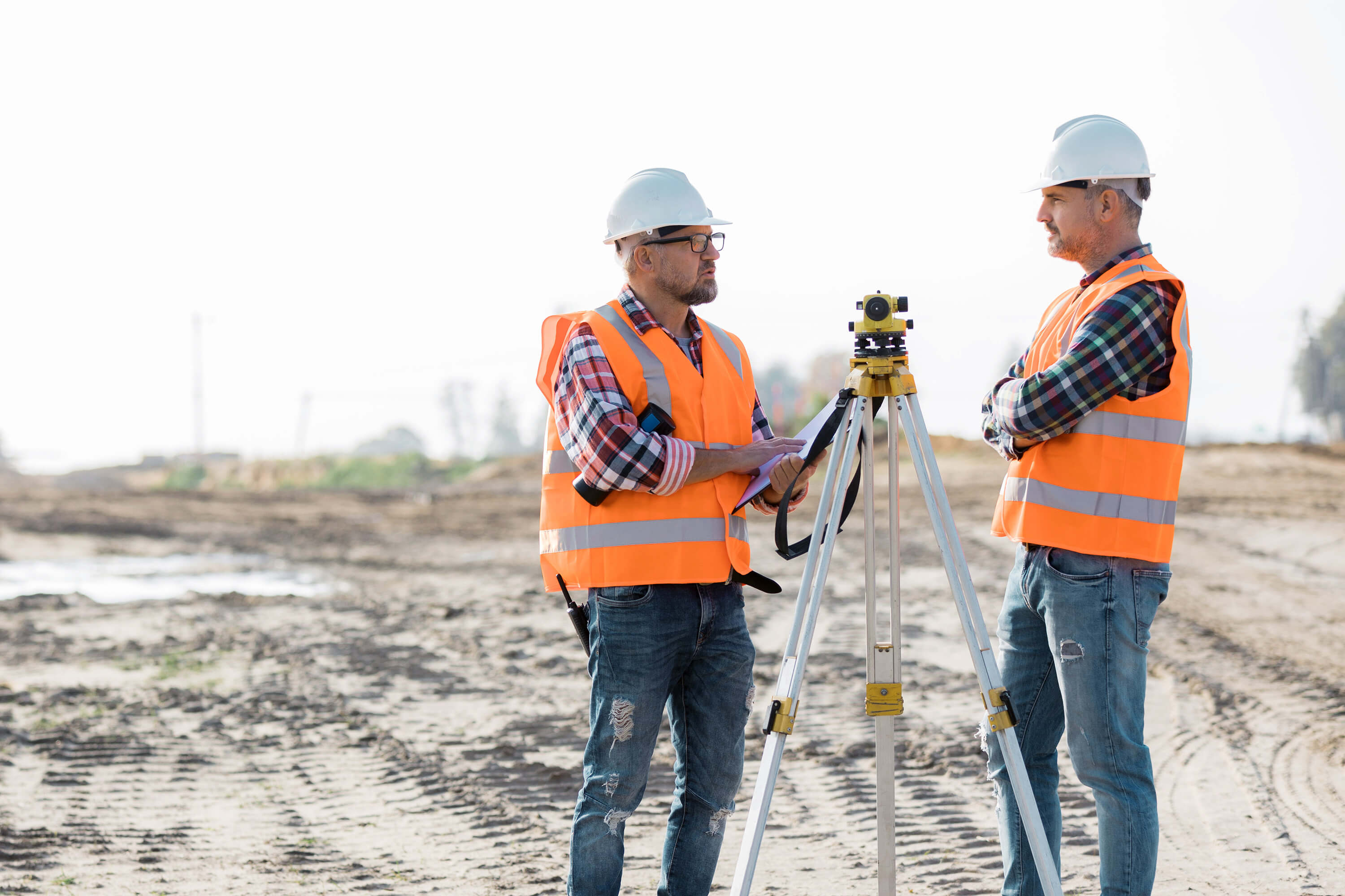
We deliver comprehensive land services by integrating GIS with services like right-of-way acquisition, permitting, environmental assessments, LiDAR, drone and ground surveying. These services are crucial for planning infrastructure projects such as highways, roadway expansions, sewer lines, water lines, electric transmission lines and substations. Hart Gilchrist, GIS Coordinator, emphasizes that GIS integrates multiple data layers to create comprehensive maps, essential for planning and executing capital improvement projects. For instance, when routing a transmission line across multiple counties, GIS helps manage data from various sources — including land ownership records and environmental restrictions — allowing for accuracy and consistency in planning.
Advanced Data Analytics for Project Precision
Our skilled GIS analysts offer intuitive tools that support informed decision-making and project efficiency. Our involvement in the GIS community and numerous awards highlight our commitment to advancing GIS technology. At Tyndall Air Force Base, for example, we coordinated data from 12 design-build contractors and integrated their schedules with GIS to provide real-time conflict detection. This helped streamline a multi-billion-dollar reconstruction effort, demonstrating GIS's value in large-scale program management.
Expanding GIS Accessibility and Collaboration
Beyond field operations, the versatility of an enterprise database means it can seamlessly serve both GIS and data visualization applications like Power BI. This dual compatibility enhances data usability, allowing for more robust analysis and visualization across various project teams. The ability to harness the same dataset for different analytical tools provides consistent, accurate insights, empowering users to make data-driven decisions with greater agility.